
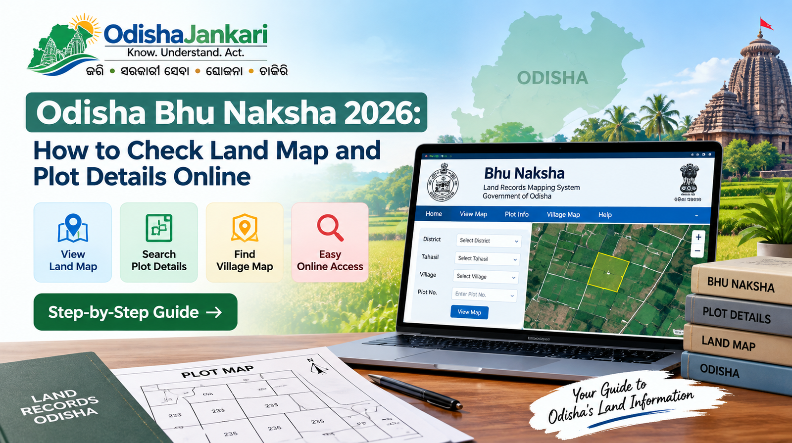
Bhu Naksha Odisha is the cadastral map layer maintained by the Revenue Department of Odisha. Every survey plot in the state consists of a unique number and a mapped boundary on this system. It helps citizens access and view digital land maps and plot-related details through online land record services.
| Visit the official portal here: https://bhunakshaodisha.nic.in/. |
What is Bhu Naksha Odisha?
Odisha Bhu Naksha refers to the digital land map facility that allows citizens to view the geographical representations of land parcels and plots digitally. Unlike textual land records that offer ownership and other record-related data, a digital map can help you understand where a particular plot is located within a village and how it appears in relation to surrounding land parcels.
The following map-view facility is closely related to Bhulekh, which is the Odisha government’s online land records system. While Bhulekh offers access to land record information like RoR Khatiyan, plot, and tenant details, the map view can help users visually identify the corresponding location of a plot.
To view an Odisha land map, users generally need to select the right District, Tahasil, village, and RI circle before entering the needed plot number. Such location details can help you narrow the search to the correct land jurisdiction and display the right plot on the map. This structured selection process is beneficial for citizens who desire to check an Odisha plot map, locate land within a village, or better understand the position of a specific property.
What Details Can You Check on Odisha Bhu Naksha?
Bhu Naksha Odisha 2026 helps users visually identify land parcels and verify the location of a specific plot within a selected area. After picking the relevant district, tahasil, village, and RI circle, users can access the map view and locate the required plot number. Here are the details you can verify on this Odisha land map.
- Plot Location: Identify where a particular plot is located within the selected village or locality.
- Plot Number: Locate a specific land parcel using its assigned plot number.
- Village Map View: Understand the broader layout of land parcels within the selected village.
- Cadastral Map Information: Review the graphical representation of individual land parcels and their relative positions.
- Surrounding Spots: See nearby plot boundaries and adjoining land parcels for better geographical insights.
- Administrative Location: Confirm the district, Tahsil, village, and RI circle related to the selected map search.
How to Check Bhu Naksha Odisha Online?
You can use the official online land records system to review an Odisha land map and locate a specific plot. Follow the below mentioned steps to know how to check Bhu Naksha Odisha online.
- Visit the Official Bhu Naksha Portal: Open the official Odisha land records portal and navigate to the map-view or land map section.
- Select the District: You need to select the district of your property or land. Now, you need to select the right district and narrow down the land map search as per your convenience.
- Choose the Tahasil: In the next step, select the relevant Tahasil under the chosen district. This can help you refine the search.
- Select the Village: Now you need to selecte the village name. Once you select it it will show all the relevant Odisha village map.
- Select the RI Circle: Pick the necessary Revenue Inspector Circle for the land location.
- Select the Plot Number: Once you have selected the location details, enter or choose the needed plot number.
- View the Land Map: Check the displayed Odisha plot map to understand the geographical position of the selected land parcel and its location in relation to surrounding plots.
How to Find a Plot on the Odisha Land Map?
To find the right or specific plot on the Odisha cadastral map, you need to select the right district, tahsil, village and RI circle. Further, you need to select the needed plot number to locate the land parcel on the available map. This is a convenient way to verify an Odisha land map by plot number and understand the plot’s position within the selected village.
How to Check Plot Number and Location?
To check a plot number and its location, make sure to select the correct district along with village and RI circle details. You need to be very careful when entering the required plot number in the map view. Users can also cross-check the plot details with the RoR to better understand the corresponding land record information.
Difference Between Bhulekh and Bhu Naksha
Bhulekh Odisha map and Bhu Naksha offer different types of land-related data. While Bhulekh helps users access land records, Bhu Naksha mainly prioritises the visual location and layout of the plots.
| Bhulekh | Bhu Naksha |
| It offers recorded information related to a property or land parcel. | Shows the geographical layout and position of the land parcels. |
| It allows users to get the Record of Rights associated with the land. | Offers a visual representation of individual plots on the map. |
| It contains the necessary land record or Khatiyan information. | This helps users identify where a particular plot is situated. |
| Displays available details related to the recorded tenant. | It shows map-based information about the selected plot and surrounding parcels. |
What to do if Your Plot is Not Showing on the Map?
If a plot is not appearing on the Bhu Naksha Odisha 2026, then cross check enterned the district, Tahasil, village, RI circle, and plot number . If the details are correct and the plot is still unavailable, you need to check the corresponding Mutation record to check whether recent changes have been updated. For any unresolved issues, you can contact the concerned Tahasil or revenue office for better assistance.
Can Bhu Naksha be Used to Verify Land Ownership?
Bhu Naksha is viable for viewing the location, boundaries and plot layout of a land parcel. Do not treat map information as a substitute for legal title verification. A land map of Odisha helps identify where a plot is situated. For ownership-related verification, citizens should refer to the necessary RoR and other official land records. If necessary, additional documents and records might need to be verified with the concerned revenue authorities.
Frequently Asked Questions (FAQs)
Yes, Bhu Naksha Odisha is available online. This allows citizens to review land maps and locate plots through relevant location details.
Yes, you can locate a plot number by picking the necessary district, Tahasil, village, and RI circle.
Map availability and download options might differ. Verify the official portal for available viewing, printing or download features
Khatiyan is mainly a land record reference. Use Bhulekh to verify related records and identify the corresponding plot data.
No, Bhulekh offers land records, while Bhu Naksha offers a visual map reflecting plots and their geographical locations.

Not sure which Odisha service you need?
Ask OdishaJankari: Describe your land record, certificate, scheme, or grievance issue.
🔒 Powered by verified OdishaJankari guidelines & official government notifications. No personal data collected.
Related Guides & Services
 Land & Property
Odisha Land Record Owner Name Search 2026: How to Check Landowner Details
Introduction You know the village. You may even know the person. What you are lacking is the Khatiyan…
 Land & Property
Odisha Land Record Correction 2026: How to Correct Name, Plot or Area Details
Introduction Odisha land records cover necessary details such as the recorded owner’s name, plot/khata number, and area details.…